
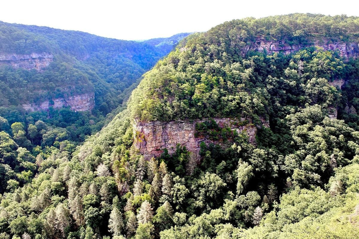
Photo: Andy Montgomery, CC BY-SA 2.0, via Wikimedia Commons
Georgia’s outdoors run from the Blue Ridge and Cumberland Plateau to the Okefenokee Swamp and the barrier islands. Start here for hiking trails, waterfalls, lakes, rivers, parks and forests, with every state park listed below checked against the agency that runs it.
Many trails are close to home, many parks have accessible trails, and some even have horseback riding. Most Georgia State Parks charge a $10 daily parking fee (ParkPass), or $70 for an annual pass.
Explore Georgia’s Outdoors
State Parks
Cabins, campsites and trails at Georgia’s state parks.
Waterfalls
From roadside cascades to backcountry falls.
Lakes
Boating, beaches and camping on Georgia’s big lakes.
Fishing Lakes
Smaller public lakes, with DNR fishing forecasts.
Rivers
Paddling, tubing and river fishing.
County Parks
Local parks, lakes and ball fields, county by county.
National Parks
Battlefields, seashores and the Appalachian Trail.
National Forests
Chattahoochee-Oconee campgrounds and recreation areas.
Wildlife Areas
WMAs for hunting, fishing and wildlife watching.
Bike Trails
Mountain bike trails and paved rail-trails.
Horseback Riding
Equestrian trails, stables and horse camps.
OHV Trails
Off-highway vehicle trail systems and rules.
Safety Tips
What to know before you head out.
Popular Hiking Parks
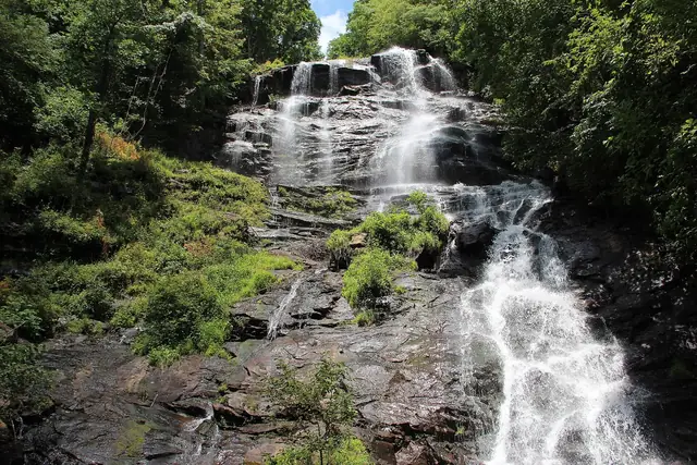 Amicalola FallsA 729-foot waterfall
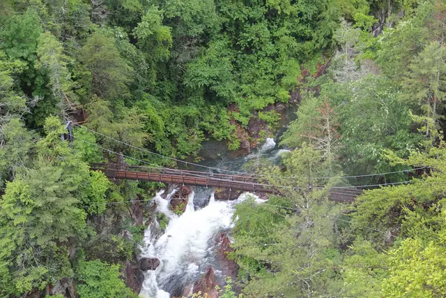 Tallulah GorgeRim trails and a suspension bridge
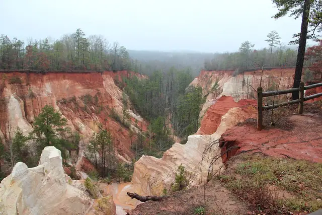 Providence CanyonGeorgia’s “Little Grand Canyon”
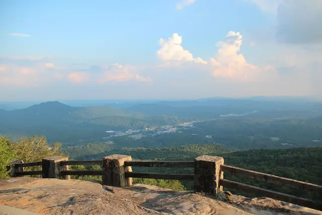 Black Rock MountainGeorgia’s highest state park
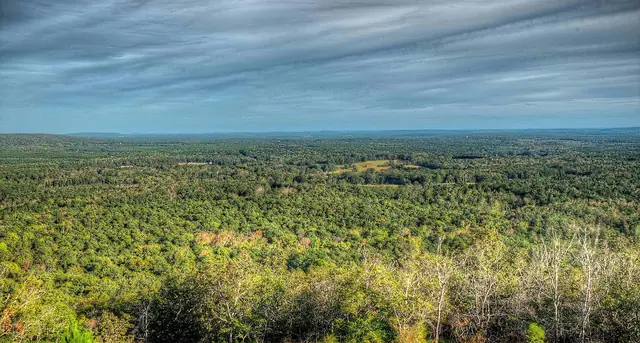 F. D. RooseveltPine Mountain Trail and Dowdell’s Knob
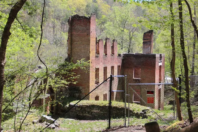 Sweetwater CreekCreekside trail to 1800s mill ruins
Photos: Amicalola Falls: Thomson20192, public domain, via Wikimedia Commons; Tallulah Gorge: Thomson200, public domain, via Wikimedia Commons; Providence Canyon: Thomsonmg2000, public domain, via Wikimedia Commons; Black Rock Mountain: Thomson200, public domain, via Wikimedia Commons; F. D. Roosevelt: Dsdugan, public domain (CC0), via Wikimedia Commons; Sweetwater Creek: Thomson M, CC BY 3.0, via Wikimedia Commons.
All 47 Parks at a Glance
Tap a park for trails, amenities, hours and directions. Acreage is from each park’s official listing; the last column links to the operator.
Ready to Pick a Trail?
See our Best Hikes in North Georgia guide, sorted by difficulty, or our Blood Mountain vs. Springer Mountain comparison if you are deciding between Georgia’s two most iconic Appalachian Trail peaks.
Sources we checked
Facts in this guide were checked in September 2026 against the agencies and operators that run these places:
- Georgia State Parks & Historic Sites – park acreage, trails, hours and fees
- Georgia State Parks trail finder – trail lengths and difficulty
- Georgia State Parks map – park locations
- Elbert County, Bobby Brown Park
- Upson County, Sprewell Bluff Park
Acreage comes from each park’s official facilities list. Where the operator does not publish a figure, the table says “Not listed” rather than guessing.
Spot something out of date? Email Contact@n-georgia.com and we’ll check it against the official source. Read how we research our guides.