
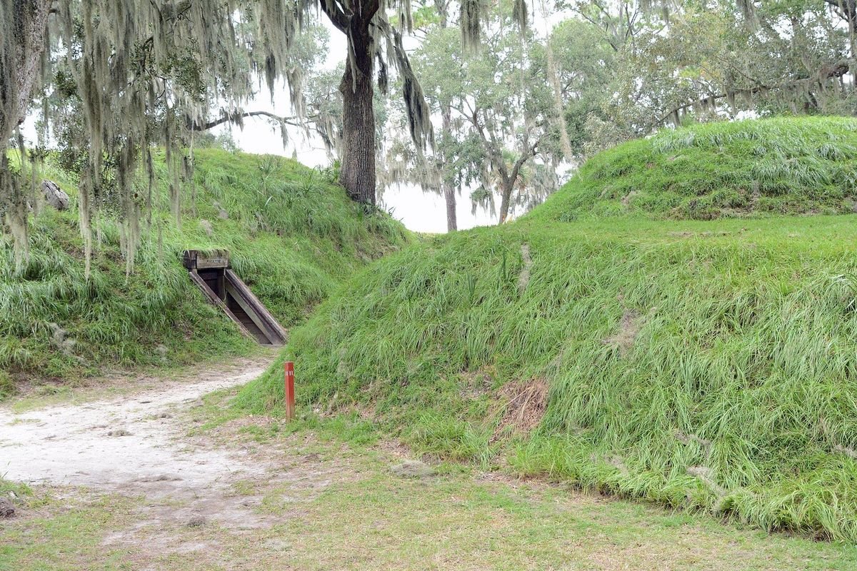
Photo: Bubba73 (Jud McCranie), CC BY-SA 3.0, via Wikimedia Commons
Located on the bank of the Great Ogeechee River south of Savannah, this 1,725-acre park is home to the best-preserved earthwork fortification of the Confederacy. Set among giant live oaks and beautiful salt marsh, it’s a quiet spot for camping, hiking, fishing and picnicking – and the site where General Sherman’s March to the Sea came to an end.
- Address3894 Fort McAllister Rd., Richmond Hill, GA 31324
- Park Hours7 a.m. – 10 p.m. daily
- Office Hours8 a.m. – 5 p.m.
- Parking Fee$10 per vehicle (ParkPass)
- Park Phone912-727-2339
- Campsite & Cottage Reservations1-800-864-7275
Driving directions: Located 10 miles east of I-95 on GA Spur 144. Take I-95 to Exit 90.
Fort McAllister State Park Map
This is the Georgia State Parks map of Fort McAllister State Park from 2008, kept in our archive. It shows the park’s roads and main facilities as they were laid out then, so newer buildings, campsites, trails and closures will not appear on it. Before you go, check the current maps below.
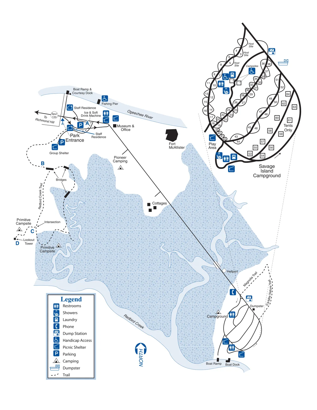
Current maps:
- Fort McAllister State Park official 2024 park map (PDF) from Georgia State Parks
- Official Fort McAllister State Park page for hours, fees and current closures
Park Amenities
- 67 tent, RV & trailer campsites
- 2 pioneer campgrounds
- 1 backcountry campsite
- 7 cottages
- 3 picnic shelters
- 1 group shelter
- Best-preserved Confederate earthwork fort
- Self-guided fort tours (video, museum & fort guide)
- Civil War museum & gift shop
- Playgrounds
- Seasonal canoe & kayak rentals
- Boat ramp & dock (private boats allowed)
- Water skiing & saltwater fishing
- Fishing pier
- 4.3 miles of hiking & biking trails
- Bike rentals
- Colonial Coast Birding Trail
- GeoCaching
- Weddings (park approval required)
Camping, Cottage & Shelters
Cottage
Two-bedroom cottage, 14 feet off the ground, with two double beds in each bedroom. Sleeps 8. Two bathrooms right off the bedrooms, bed & bath linens provided. Fully equipped kitchen with microwave & dishwasher, heat/AC, TV. No phone. Screened porch overlooks the marsh.
60-Foot Campsites
Holds 1 tent, 2 tents, a pop-up trailer, or a trailer/motorhome up to 60 feet. Water, 30-amp electric, picnic table, grill (some sites have a fire ring), no cable. Comfort station with washer/dryer. Maximum 6 people and 2 vehicles per site. Woodsy setting with a good fishing pier.
Pioneer Campsite
A primitive, rugged site for groups only, 10-person minimum, located by itself. Has water but no electricity, plus an Adirondack shelter, fire ring and shared pit toilets. Hike-in campers only.
Group Shelter
Enclosed shelter in the Day-Use area (fishing pier, open field, soda machine). Has a kitchen, restroom, heat, air conditioning and a fireplace. Utensils, cookware and dishes not provided. ParkPass required.
Picnic Shelter 1
Open-sided covered shelter (also called Shelter “L”) next to the museum in the day-use area, near two playgrounds, a fishing pier, open field and soda machine. Accessible restrooms nearby. Easy walk to the historic fort, museum and hiking trails.
Picnic Shelter 2
Open-sided covered shelter in the day-use area, near two playgrounds, a fishing pier, open field and soda machine. Accessible restrooms nearby. Easy walk to the historic fort, museum and hiking trails.
Photos
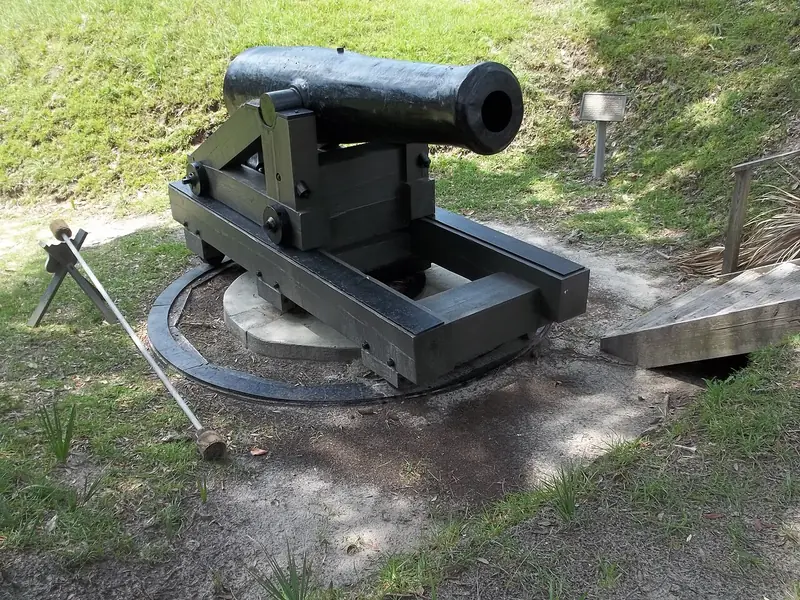 The ColumbiadHeavy cannon on the earthworks
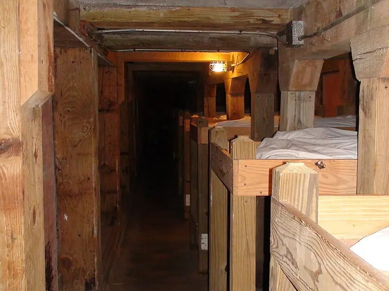 Inside the BombproofSoldiers' bunks within the fort
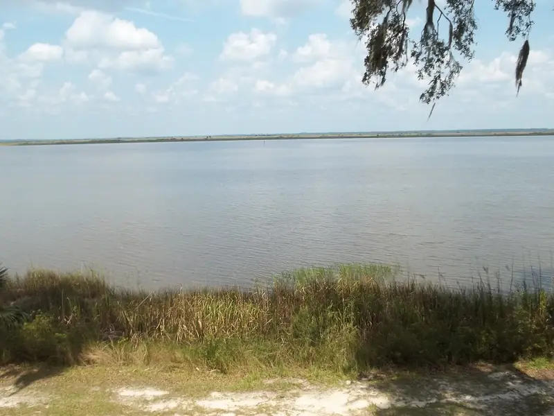 Great Ogeechee RiverSalt marsh along the fort's edge
Photos via Wikimedia Commons: Ebyabe, CC BY-SA 3.0; Trich63, CC BY-SA 4.0; Ebyabe, CC BY-SA 3.0.
Fort McAllister was the last major stop on Sherman’s march; follow the whole route in our March to the Sea sites guide, and see things to do in Savannah.