
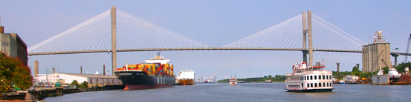
Georgia has only about 100 miles of Atlantic coastline, but it packs in a lot: historic Savannah, old fishing towns, a dozen or so barrier islands with wide beaches, wild horses and maritime forest, and some of the largest salt marshes on the East Coast. Come for a weekend or a week.
Planning a beach day? Our 5 Best Beaches in Georgia guide compares Tybee, Jekyll, St. Simons, Cumberland and Sapelo, with parking, fees and ferry details for each.
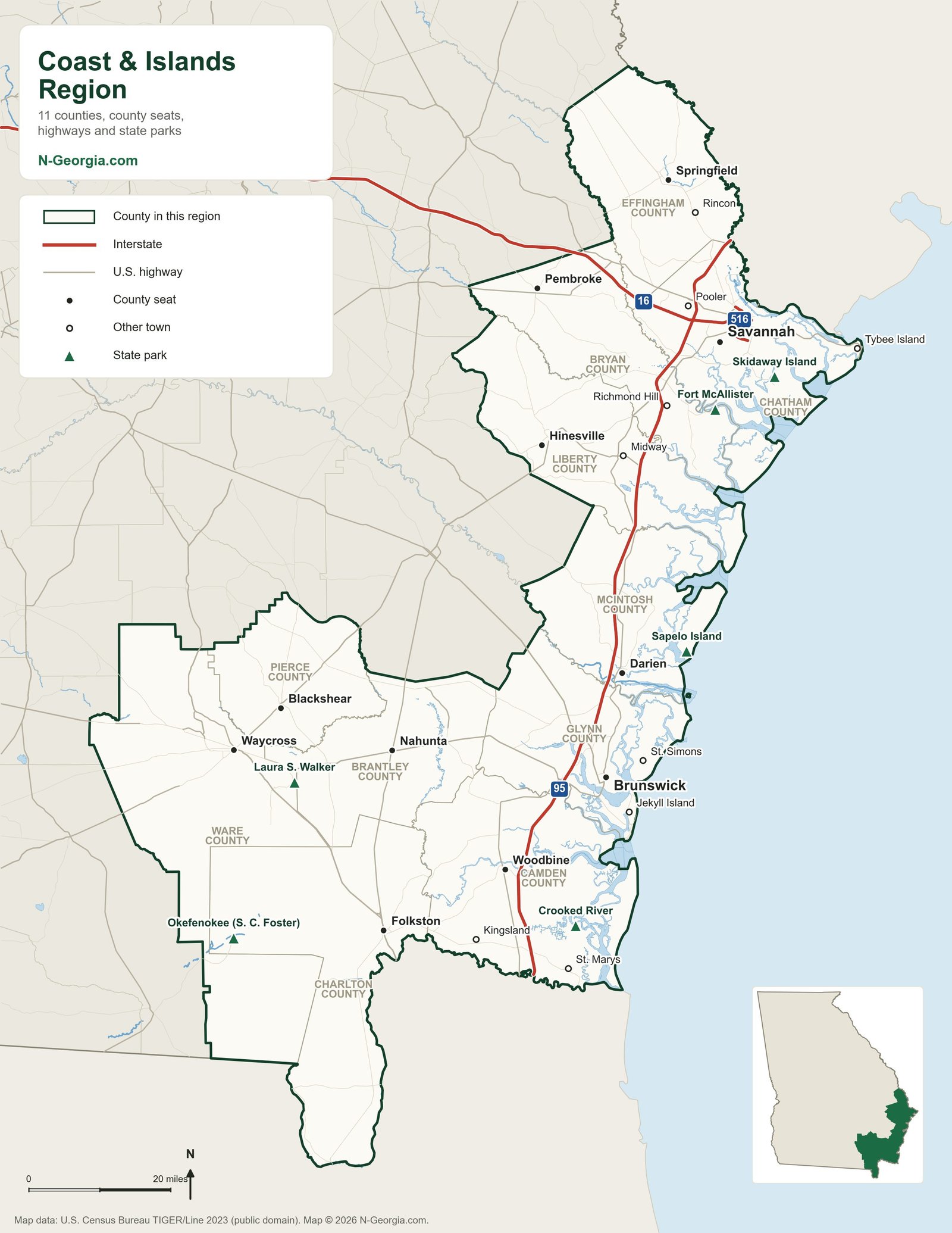
Coast and Islands Map
Cities and Towns
Savannah
James Oglethorpe landed on the Savannah River bluff in 1733 and laid out a city of broad streets braided with public squares. That plan still shapes the historic district today.
Brunswick and the Golden Isles
A port city and four islands: St. Simons, Sea Island, Jekyll and Little St. Simons. See also Old Town Brunswick.
Darien
Founded in 1736 by Scottish Highlanders as a military outpost on the Altamaha, and Georgia’s second-oldest planned town. Today it’s a quiet shrimping town.
St. Marys
A small historic town on the Florida line and the ferry gateway to Cumberland Island National Seashore.
Richmond Hill
On U.S. 17 between Savannah and the Ogeechee River, once home to Henry Ford’s winter estate, with a local history museum in a former Ford-built school.
Barrier Islands
Georgia’s barrier islands are among the most natural on the Atlantic coast. Some formed about 30,000 years ago and others only in the last 5,000. Only four can be reached by car: Tybee, St. Simons, Sea Island and Jekyll. Read more in Georgia’s barrier islands.
Tybee Island
Savannah’s beach town: sand, salty breezes, seafood and history, from the Tybee lighthouse to Spanish-American War-era Fort Screven on the north end.
St. Simons Island
The 1872 St. Simons Lighthouse, Fort Frederica National Monument and miles of beach, minutes from Brunswick.
Jekyll Island
Once a private retreat for wealthy industrialists, now a state-owned island with public beaches, the historic Millionaire’s Village and the Georgia Sea Turtle Center.
Cumberland Island
Georgia’s largest barrier island, a national seashore reached by ferry from St. Marys, with wild horses, ruins and empty beaches.
Sapelo Island
Reached only by state ferry from Meridian. Home to the Hog Hammock Gullah Geechee community and the UGA Marine Institute, with guided tours and public beaches.
Ossabaw Island
Georgia’s third-largest barrier island, reached only by boat. It is a state Heritage Preserve: DNR runs scheduled hunts, and the Ossabaw Island Foundation leads education programs. Most visits are by application. DNR Richmond Hill office: 912-727-2112.
Wassaw, St. Catherines and Little Cumberland islands are privately held or run as wildlife refuges, with no regular public ferry. They can be reached only by private boat or by special arrangement with the managing organization.
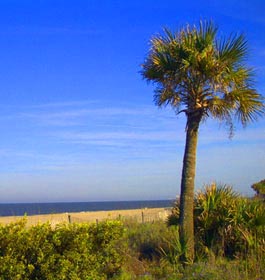 Tybee IslandSavannah’s beach
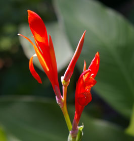 Coastal WildflowersDunes and marsh edges
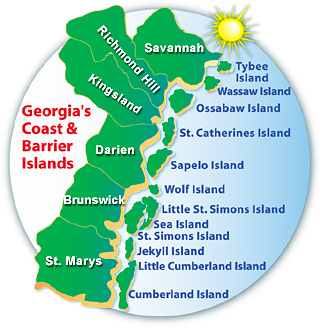 Our Original Coast MapThe coast at a glance
More on the coast: coast festivals and events, free things to do outdoors, museums and national historic sites.
Sources we checked
Facts in this guide were checked in October 2026 against the agencies and operators that run these places:
- Wikipedia: Ossabaw Island (Heritage Preserve access)
- Sapelo Island NERR: Visiting Sapelo Island
- National Park Service: Cumberland Island National Seashore
Spot something out of date? Email Contact@n-georgia.com and we’ll check it against the official source. Read how we research our guides.