
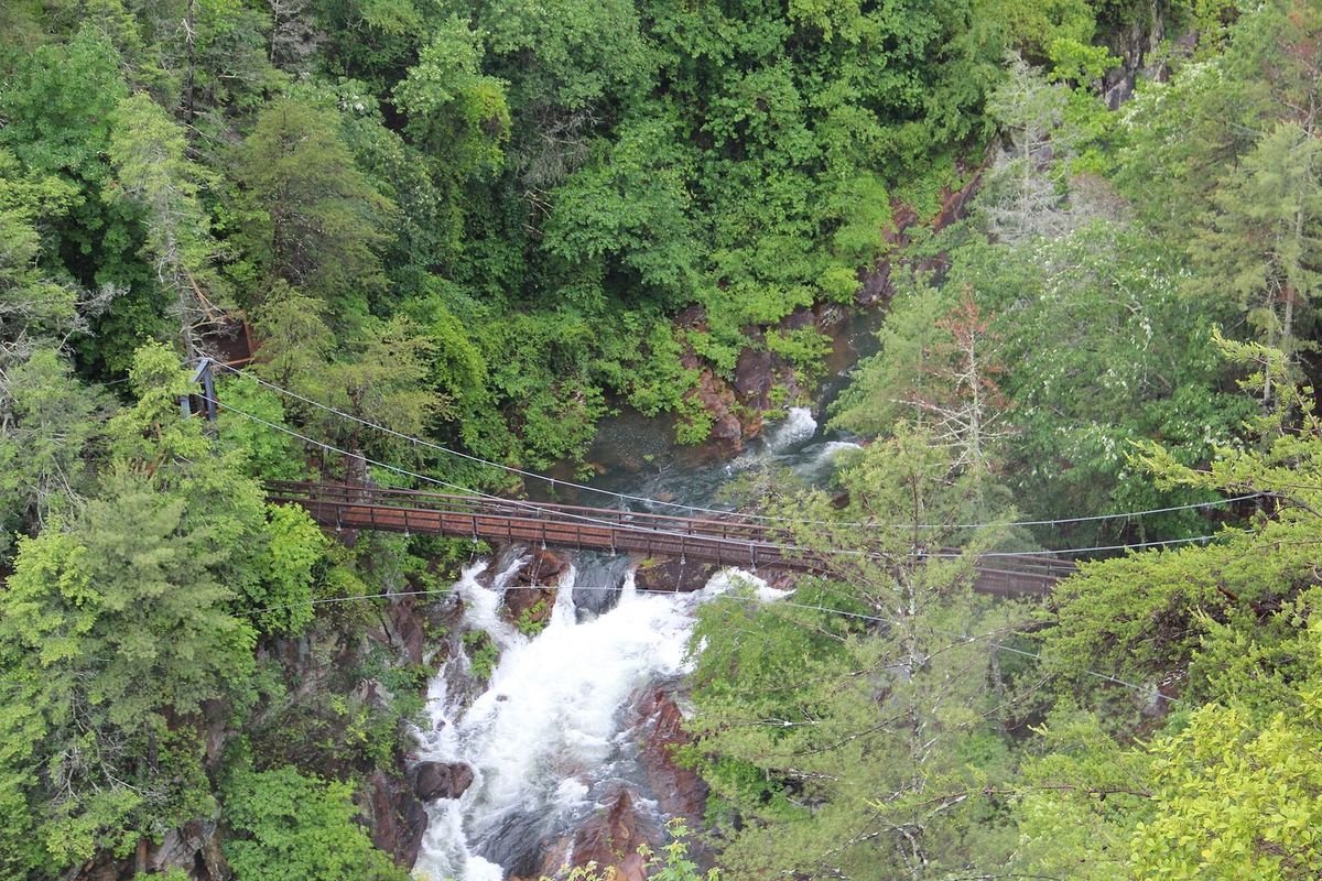
Photo: Thomson200, public domain, via Wikimedia Commons
The Northeast Georgia Mountains are Georgia’s high country: Brasstown Bald, the state’s highest point at 4,784 feet; Springer Mountain, the southern end of the Appalachian Trail; and the headwaters of the Chattahoochee River. Waterfalls, trout streams, mountain lakes, wineries, gold rush history in Dahlonega and brilliant fall color draw visitors all year.
Planning a trip? Start with the 20 best things to do in North Georgia and our guide to the 10 best North Georgia mountain towns.
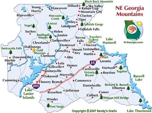
Quick answer: Northeast Georgia is the mountain and lake country north and northeast of Atlanta. Georgia’s Northeast Georgia Mountains travel region covers 17 counties, from Forsyth and Barrow north to Rabun and Towns on the North Carolina line and east to Hart and Elbert on the South Carolina line. Its towns include Gainesville, Dahlonega, Helen, Clayton and Toccoa.
Explore the NE Georgia Mountains
Free Things To Do Outdoors
Lakes, waterfalls, parks, trails, fish hatcheries and scenic drives.
Free Things To Do Indoors
Art centers, galleries, museums, folk pottery and historic sites.
Festivals & Events
Mountain festivals, fairs and holiday events all year.
Fishing Lakes
Smaller lakes for fishing, swimming, boating and camping.
Museums & Galleries
Dahlonega Gold Museum, Crawford W. Long Museum, Currahee Military Museum and more.
Christmas Lights
The best holiday light displays in the mountains.
Visitor Centers
Chambers, welcome centers and CVBs with maps and trip help.
Mountain State Parks
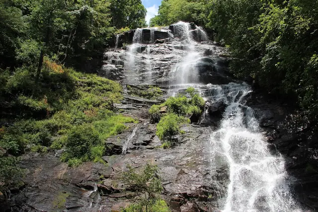 Amicalola FallsA 729-foot waterfall and lodge
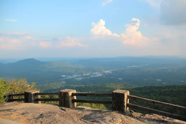 Black Rock MountainGeorgia’s highest state park
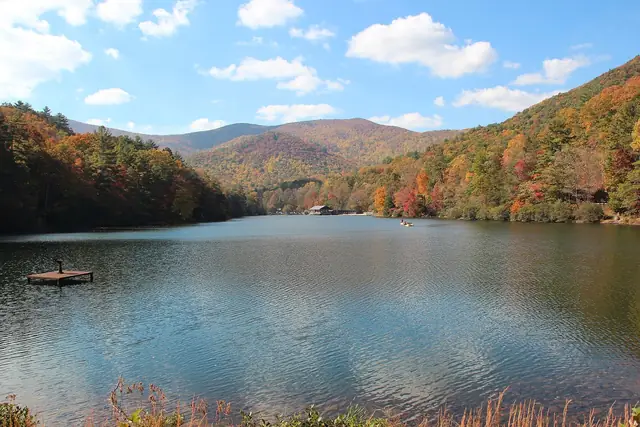 VogelAt the base of Blood Mountain
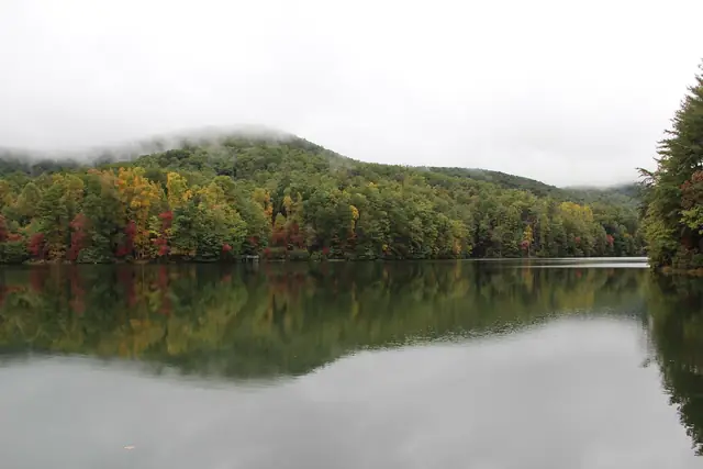 UnicoiLodge, lake and trails near Helen
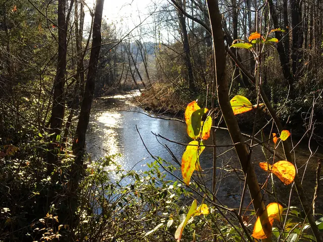 Smithgall WoodsDukes Creek trout fishing
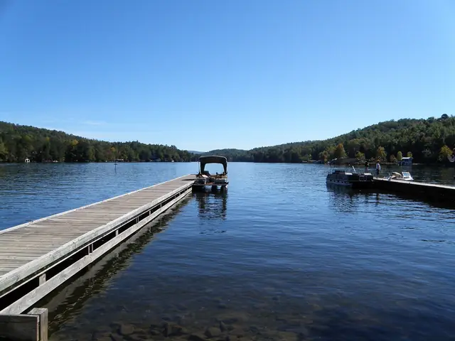 Moccasin CreekCamping on Lake Burton
Photos: Amicalola Falls: Thomson20192, public domain, via Wikimedia Commons; Black Rock Mountain: Thomson200, public domain, via Wikimedia Commons; Vogel: Thomson200, public domain, via Wikimedia Commons; Unicoi: Thomson200, public domain, via Wikimedia Commons; Smithgall Woods: atlnature, CC BY 2.0, via Flickr; Moccasin Creek: pseabolt, CC BY 3.0, via Wikimedia Commons.
Note: Lake Trahlyta at Vogel State Park is drained for dam repairs in 2026, and its loop trail and waterfall are closed.
More Parks & Historic Sites
Tallulah Gorge State Park
A 2-mile gorge nearly 1,000 feet deep, with rim trails and a suspension bridge.
Watson Mill Bridge State Park
Home to Georgia’s longest covered bridge, 229 feet over the South Fork River.
Fort Yargo State Park
A 1792 log fort and a 260-acre lake near Winder.
Victoria Bryant State Park
A quiet park with a stream, trails and golf near Royston.
Tugaloo State Park
A wooded peninsula on Lake Hartwell near Lavonia.
Richard B. Russell State Park
Cottages, camping and golf on Russell Lake near Elberton.
Hartwell Lakeside Park
The former Hart State Park, now a City of Hartwell park on Lake Hartwell.
Bobby Brown Park
An Elbert County park on Clarks Hill Lake.
Dahlonega Gold Museum
Gold rush history in Dahlonega’s historic courthouse on the square.
Traveler’s Rest Historic Site
An early 1800s stagecoach inn near Toccoa.
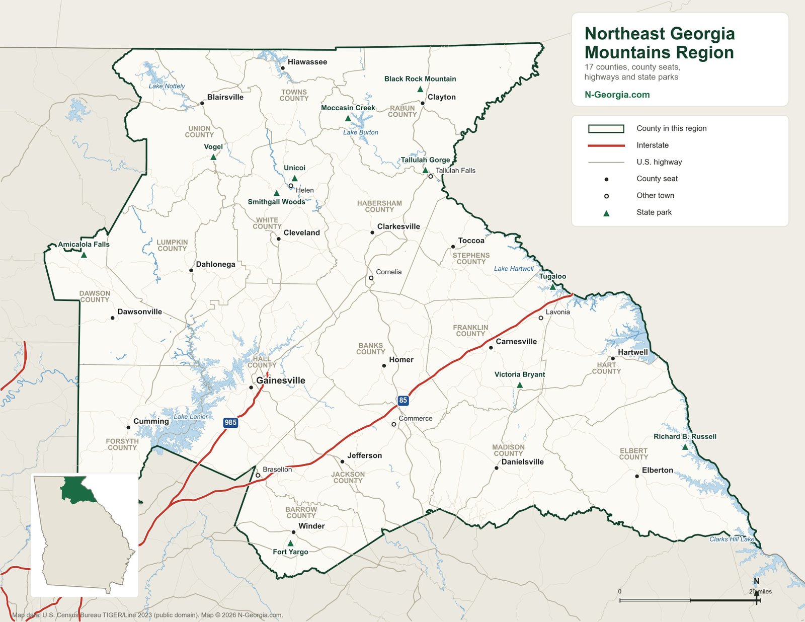
To see the Historic High Country and the Northeast Georgia Mountains together, with lakes, peaks and every state park in both regions, use our North Georgia map.
Towns in the Region
Alto, Blairsville, Braselton, Carnesville, Clarkesville, Clayton, Clermont, Cleveland, Colbert, Comer, Commerce, Cornelia, Cumming, Dahlonega, Danielsville, Dawsonville, Demorest, Dillard, Eastanollee, Elberton, Flowery Branch, Gainesville, Gillsville, Hartwell, Helen, Hiawassee, Homer, Jefferson, Lakemont, Lavonia, Lula, Marble Hill, Martin, Maysville, Mountain City, Mount Airy, Oakwood, Rabun Gap, Royston, Sautee Nacoochee, Sky Valley, Suches, Tallulah Falls, Tiger, Toccoa, Wiley, Winder and Young Harris.
Our Original Northeast Georgia Mountains Map
Sources we checked
Facts in this guide were checked in September 2026 against the agencies and operators that run these places:
- Georgia State Parks & Historic Sites
- USDA Forest Service, Brasstown Bald – Georgia’s highest point
- Appalachian Trail Conservancy, Georgia
Spot something out of date? Email Contact@n-georgia.com and we’ll check it against the official source. Read how we research our guides.
Common Questions
Where is Northeast Georgia?
Northeast Georgia is the mountain and lake country north and northeast of Atlanta. Georgia’s Northeast Georgia Mountains travel region covers 17 counties, from Forsyth and Barrow north to Rabun and Towns on the North Carolina line and east to Hart and Elbert on the South Carolina line. Its towns include Gainesville, Dahlonega, Helen, Clayton and Toccoa.
What counties are in Northeast Georgia?
The Northeast Georgia Mountains travel region, as defined by the Georgia Department of Economic Development, has 17 counties: Banks, Barrow, Dawson, Elbert, Forsyth, Franklin, Habersham, Hall, Hart, Jackson, Lumpkin, Madison, Rabun, Stephens, Towns, Union and White.