
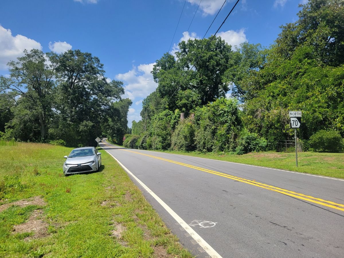
Photo: John Phelan, CC BY 4.0, via Wikimedia Commons
Situated among rolling hills, forested ridges and serene pastures, the South Fulton Scenic Byway is a 29-mile loop through this quiet corner of metropolitan Atlanta, now the city of Chattahoochee Hills.
It follows Cochran Mill Road, Hutcheson Ferry Road and Campbellton-Redwine Road (State Route 70) past historic communities and old farmhouses. Designated on October 7, 1998, it was the very first road in Georgia’s Scenic Byways program. Along the way, visitors can enjoy Cochran Mill Park, Bear Creek Nature Center and the nearby Chattahoochee River.
- Length29-mile loop
- RoadsCochran Mill Rd., Hutcheson Ferry Rd., Campbellton-Redwine Rd. (SR 70)
- Designated1998, Georgia’s first scenic byway
- WhereChattahoochee Hills, south Fulton County

Places to Go on the Byway
Cochran Mill Park
An 800-plus-acre park with more than 20 miles of hiking, biking and horse trails, plus waterfalls along the creeks.
Bear Creek Nature Center
Formerly the Cochran Mill Nature Center, this roughly 45-acre nature center next to Cochran Mill Park has live animal exhibits (reptiles, birds of prey and bats), a pond, a boardwalk and hiking trails.
Chattahoochee River
The river forms the western edge of Chattahoochee Hills, just off the byway, for paddling and fishing.
Directions
There are three ways to reach the South Fulton Scenic Byway:
From I-20
Take exit 49 and head south on SR 70 (Fulton Industrial Boulevard). The byway begins at the intersection with SR 92.
From I-85 (Exit 56)
Go north on Collinsworth Rd., which becomes Fayetteville Rd. and then Toombs Rd. Turn right onto Hutcheson Ferry Rd.; the byway begins at the intersection with Cochran Mill Rd.
From I-85 (Exit 69)
Turn south on South Fulton Parkway (SR 14 Spur), then right onto Rivertown Rd. The byway begins at the intersection with Cochran Mill Rd.