
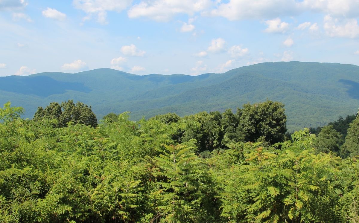
Photo: Thomson200, public domain, via Wikimedia Commons
The Cohutta-Chattahoochee Scenic Byway is a 54-mile loop through Whitfield and Murray counties, from the farm country around historic Prater’s Mill and Cohutta up into the Chattahoochee National Forest, past Fort Mountain State Park to a mountaintop overlook.
Starting near Prater’s Mill in Whitfield County, the route follows GA 2 past rolling pastures into Murray County, where the Cohutta Mountains rise into view. It continues along U.S. 411 and quiet county roads into the national forest, skirts Chatsworth, and climbs GA 52 past Fort Mountain to the scenic overlook. Side trips lead to the Cohutta Wilderness, the Cohutta Fisheries Center and the Forest Service’s Holly Creek area.
- Length54 miles
- CountiesWhitfield and Murray
- HighlightsPrater’s Mill, Fort Mountain, Cohutta Overlook
- NearDalton and Chatsworth
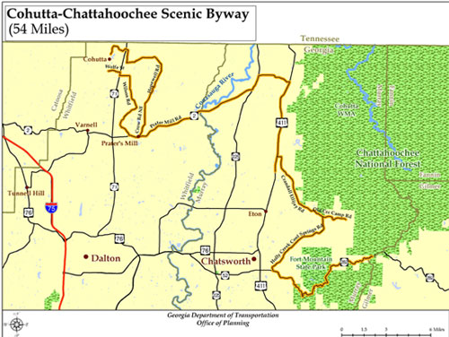
Byway Trailheads
Three trailheads along the route have kiosks with byway maps and background on what makes each stop special.
Prater’s Mill
History and culture: a historic mill site in Whitfield County, home of the long-running Prater’s Mill Country Fair.
Cohutta Fisheries Center
Nature and recreation near the town of Cohutta.
Fort Mountain Overlook
Archaeology and scenery: sweeping views from GA 52 near Fort Mountain’s mysterious stone wall. See also the Cohutta Overlook.
More to Explore
Fort Mountain State Park
Named for an 855-foot stone wall of unknown origin on the summit, with a stone fire tower, a lake, cottages, camping and miles of trails.
Cohutta Wilderness
One of the largest wilderness areas in the eastern U.S., with rugged trails and the Jacks and Conasauga rivers.
Directions
From the East
Take I-575/GA 515 to GA 52 at Ellijay, then head west on GA 52. The byway begins at the overlook in Murray County.
From I-75
Take Exit 341 and go north on GA 201, then turn right on GA 2. The byway begins at Prater’s Mill.
Photos
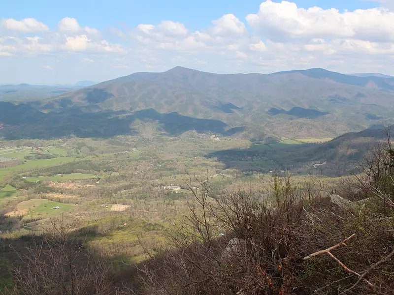 Fort Mountain ViewsValleys and farmland below
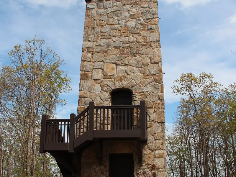 Stone Fire TowerFort Mountain State Park
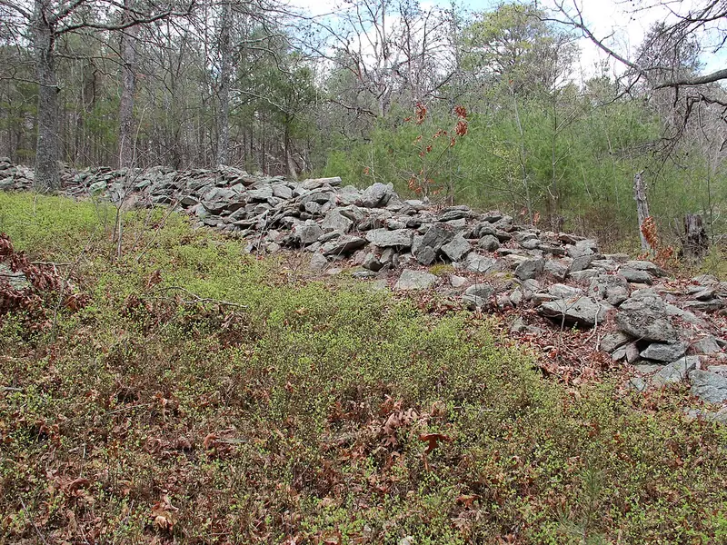 The Ancient Wall855 feet of stacked stone
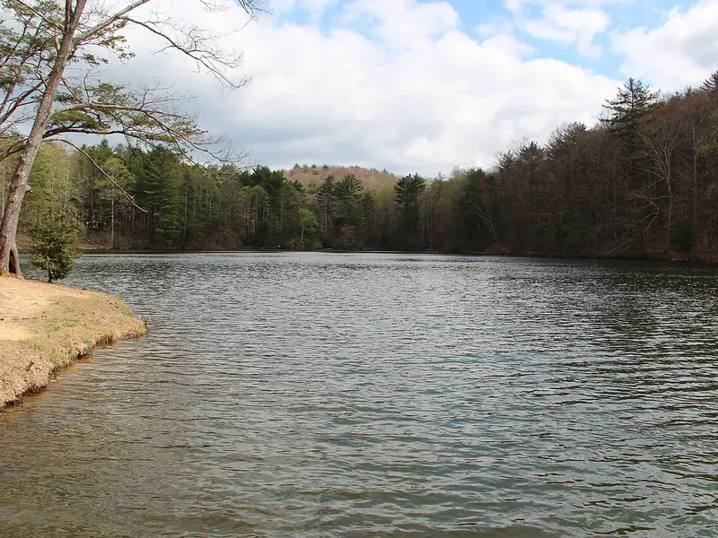 Fort Mountain LakeSwimming, paddling and fishing
Photos via Wikimedia Commons: Thomsonmg2000, public domain; Thomson200, public domain; Thomsonmg2000, public domain; Thomsonmg2000, public domain.
Sources we checked
Facts in this guide were checked in September 2026 against the agencies and operators that run these places:
- Georgia DOT, Cohutta-Chattahoochee Scenic Byway map (PDF) – 54-mile route
- Georgia DOT scenic byways
- Fort Mountain State Park
Spot something out of date? Email Contact@n-georgia.com and we’ll check it against the official source. Read how we research our guides.
Last updated: September 25, 2026