
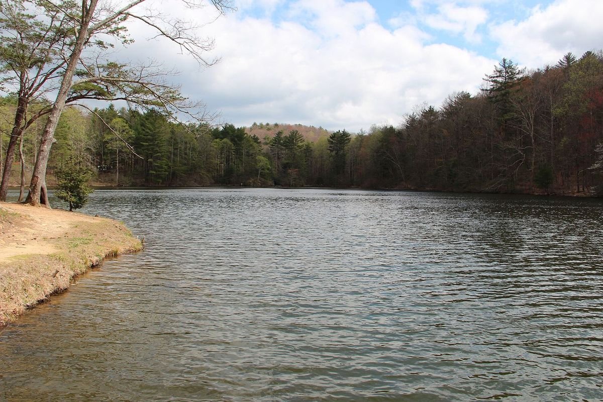
Photo: Thomsonmg2000, public domain, via Wikimedia Commons
Fort Mountain (elevation 2,840 feet) is part of the Cohutta Mountain Range. "Cohutta" is an English translation of a Cherokee word meaning "a shed roof supported on poles," describing how the mountain seems to support the sky from a distance.
Fort Mountain was named for the stone structure located near the mountaintop, long thought to be a fort, though its exact origin is unknown. The wall runs about 855 feet long and two to three feet high across the width of the mountain near the peak.
Created in 1934, most of the park's infrastructure was built by the Civilian Conservation Corps (CCC), which President Franklin Delano Roosevelt established during the Great Depression to put citizens to work preserving the country's natural resources. The Fort Mountain CCC camp was one of many across the state; young men used local stone to build buildings, pavilions, and many of the steps and trails still found throughout the park today.
- Address181 Fort Mountain Park Road, Chatsworth, GA 30705
- Park Hours7 a.m. – 10 p.m. daily
- Parking Fee$10 per vehicle (ParkPass)
- Park Phone706-422-1932 (8 a.m. – 5 p.m.)
- Campsite & Cottage Reservations1-800-864-7275
- GPS CoordinatesN 34.761301, W -84.702702
Getting there: 8 miles east of Chatsworth via GA Hwy 52; take I-75 Exit #333 toward GA Hwy 52. Park Facilities Map (PDF)
Advertise Near Here
Lodging, outfitters, restaurants and attractions: reach people planning a visit to this part of Georgia. See our advertising options or download the 2026 media kit (PDF).
The Mystery of Fort Mountain's Wall
A historical marker at the trailhead to the fort walls reads: "The trail to the north of this site leads to the mysterious and prehistoric wall of loose rocks from which Fort Mountain takes its name. Many generations of explorers, archaeologists, geologists, historians and sight-seers have wondered about the identity of the unknown builders and the purpose of their handiwork."
From the brink of a cliff on the east side of the mountain, the wall extends about 855 feet to another precipice on the west side. Its highest sections measure about seven feet, but it generally stands two to three feet tall, with 29 pits scattered fairly regularly along its length and the ruins of a gateway at one point.
Theories about the builders and their purpose range widely: sun worship and last-ditch defense by prehistoric peoples, warfare between rival tribes, fortifications built by Spanish conquistadors hunting gold, and a honeymoon haven for Cherokee newlyweds. Nobody knows which of the many legends and theories is true; the answer may never be unearthed. The marker was erected in 1968 by the Georgia Department of State Parks, at N 34° 46.702' W 84° 42.543'.
A separate sign at the fire tower reads: "This Ancient Stone Fortification, 885 Feet in Length, 2832 Feet Above Sea Level, Was Given To The State Of Georgia For The Establishment of Fort Mountain State Park by Ivan Allen, Public Spirited Citizen of Georgia, In The Year 1934."
Photos
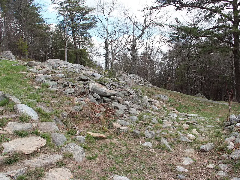 The Ancient WallA stone wall of unknown origin
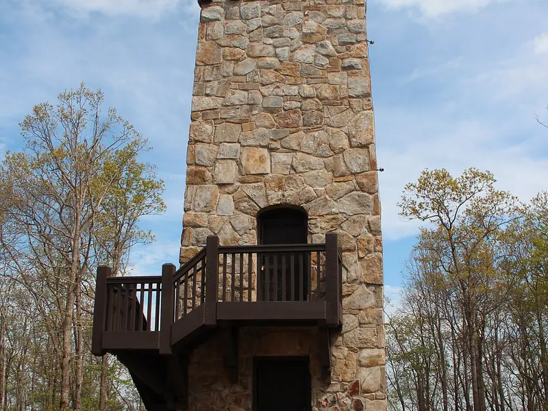 Stone Fire TowerA lookout near the summit
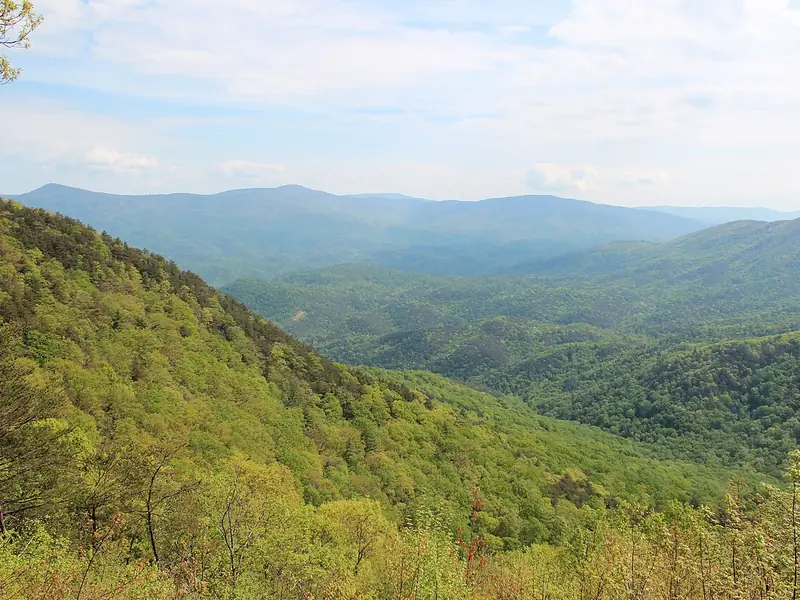 Cool Springs OverlookCohutta Mountains views
Photos via Wikimedia Commons: Thomsonmg2000, public domain; Thomson200, public domain; Thomson200, public domain.
Lake Beach
The beach at Fort Mountain is a pleasant place to relax in the shade or on the sand, with a refreshment center and paddle boat rentals; there is no lifeguard on duty, so swim at your own risk.
Beach Rules
Stay within the buoy area. No pets on the beach. No glass containers. Intoxicants prohibited. Fishing not allowed. Leave the beach immediately during storms or lightning. Beach closes at sundown. In an emergency, call 911; the nearest pay phone is at the beach house front entrance.
Fort Mountain State Park Video

Some of this park is seen from a bird's-eye view in the video above.